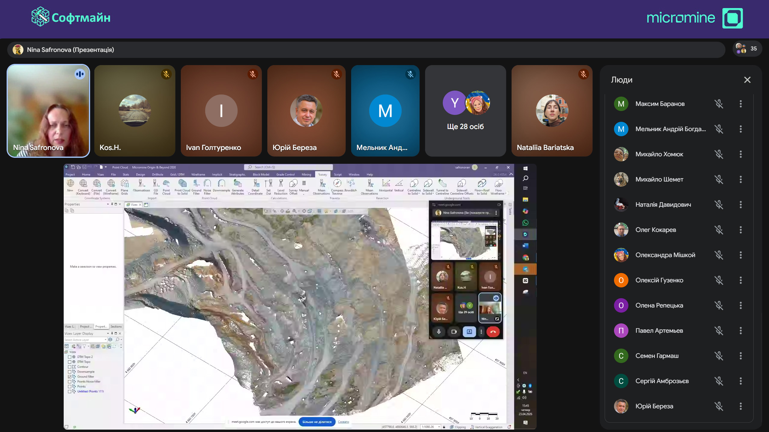
Webinar ‘Micromine Origin & Beyond: Basic Tools for Surveying Support of Mineral Mining’
On April 23, 2026, the Softmine LLC hosted a webinar focusing on Micromine solutions in the field of mine surveying, which help streamline and optimize the work of surveying team. Key topics discussed during the webinar:
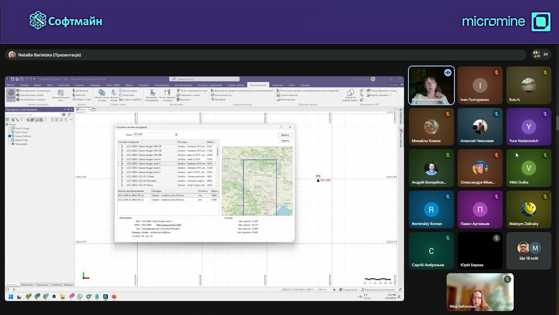
🔹 Coordinate system conversion
🔹 Processing of mine surveying data
🔹 Рrocessing of point clouds data
🔹 Reconciliation of excavation volumes by wireframes and DTMs
Advanced tools allow to transform the coordinates of table and vector data, wireframes and surfaces, and even raster images. Transformations can be done between standard coordinate systems and local coordinate systems using direct calculations. Constantly display multiple coordinate systems makes using multiple systems even more convenient.
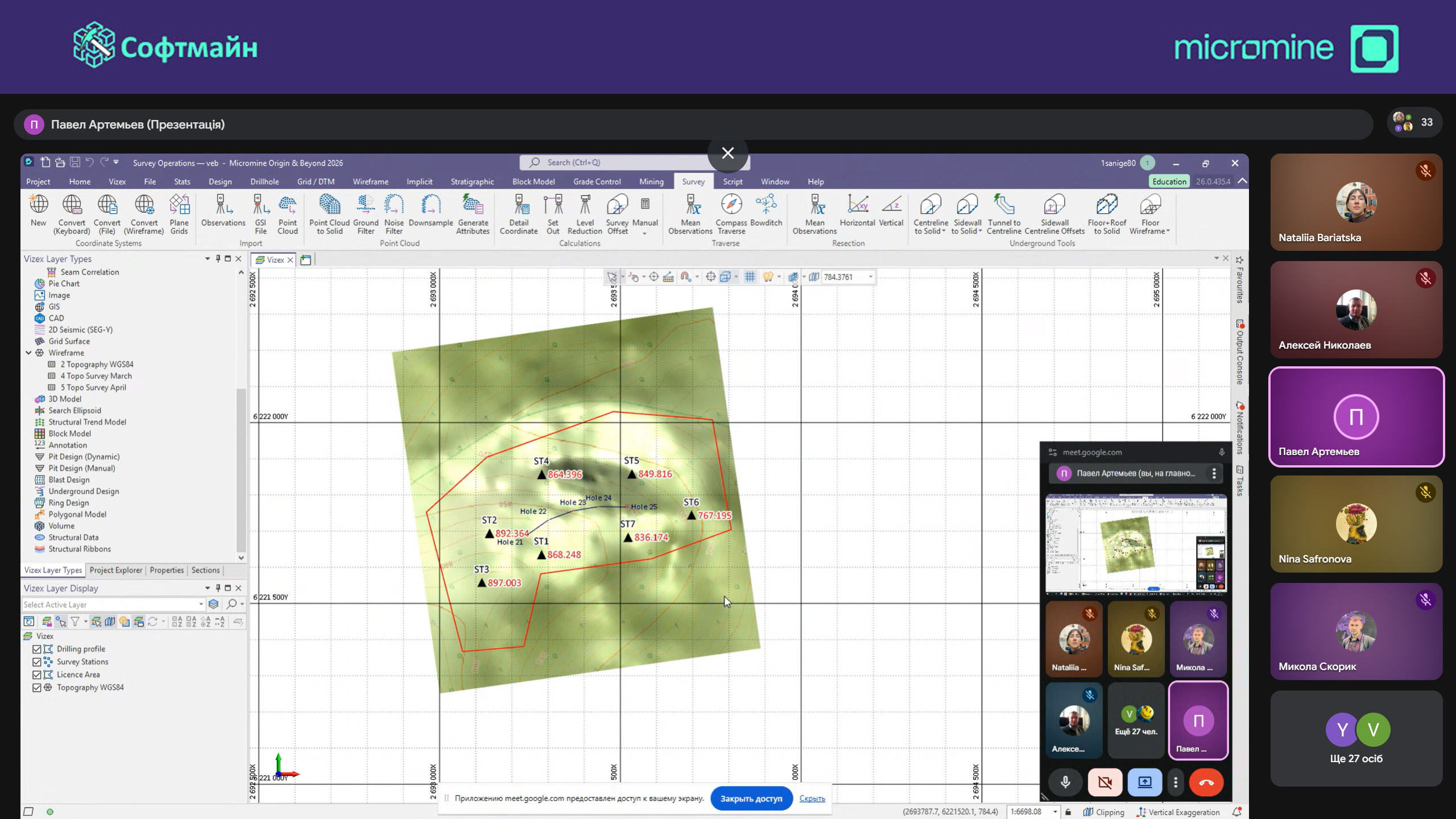
File import from external sources and using the geodetic calculator makes it possible to prepare data for set out objects on the site with high accuracy and convenience. Additionally, the option of station positioning using the resection method ensures correct spatial location. Together, these tools significantly simplify the surveyor’s work, help avoid errors, and increase the efficiency of operations.
Easy import of data in various formats enables processing of data from drone surveying, laser scanning, LiDAR surveying and other sources. The software provides tools and filters to clean datasets from noise and measurement errors. Two methods for generating a digital surface from a point cloud use different processing algorithms and offer different detail levels in the reflection of the source data.
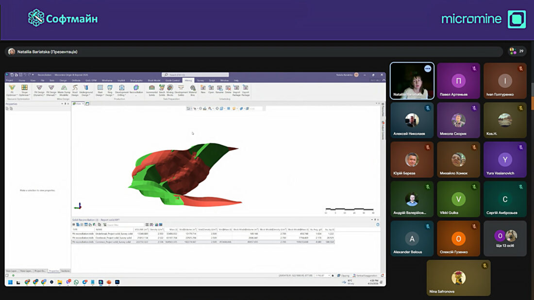
The comparison of planned and actual excavation volumes is a routine task at a mining enterprise. Special tools for wireframe and digital surface reconciliation make it easy to accurately determine losses, dilutions and other indicators using a block model. The corresponding reports, comparing planned and actual volumes, show tonnage, average grade, resources and other parameters.